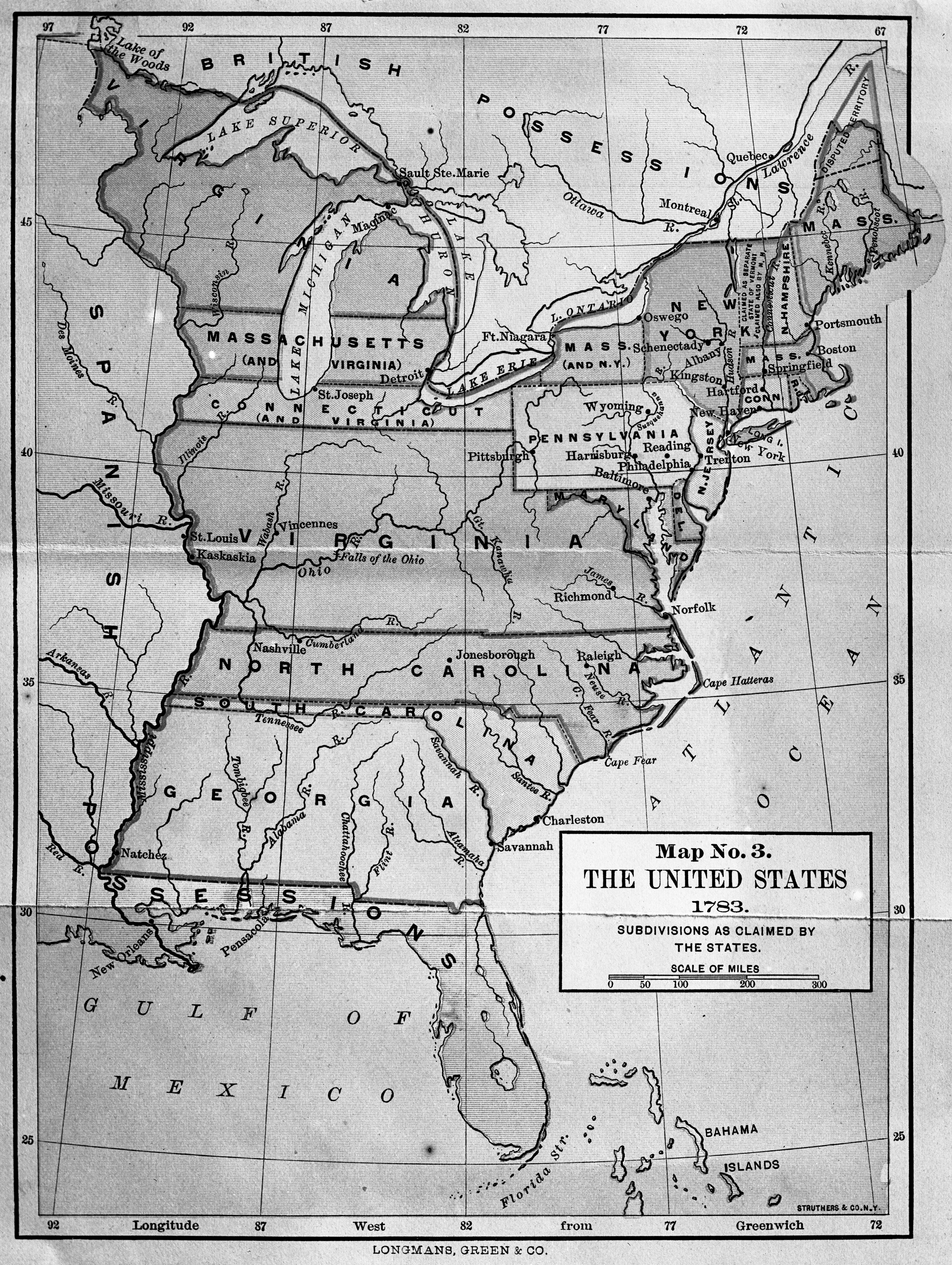


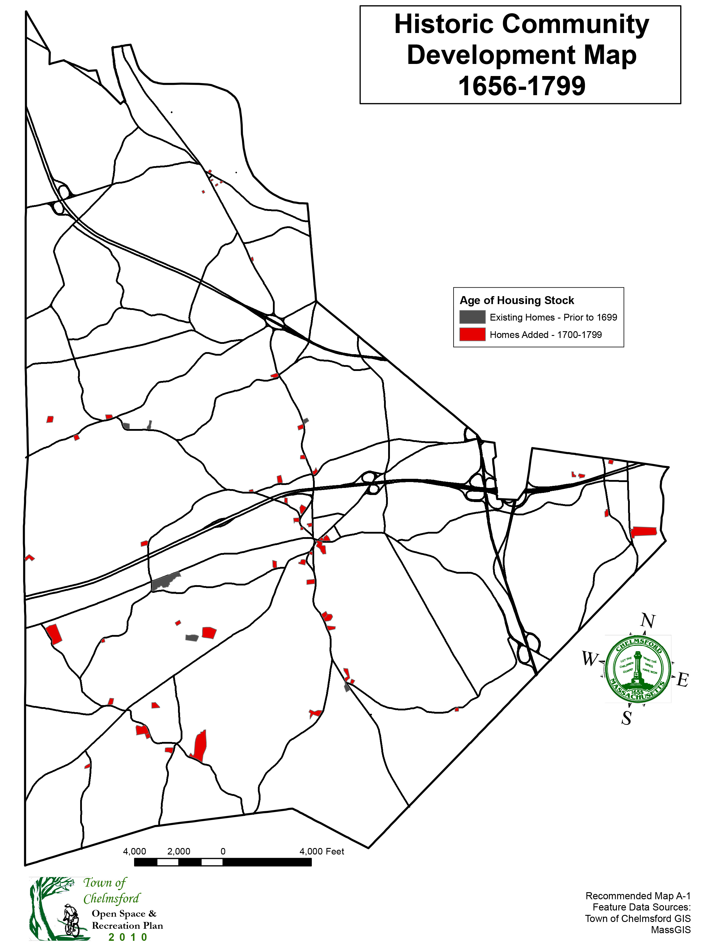
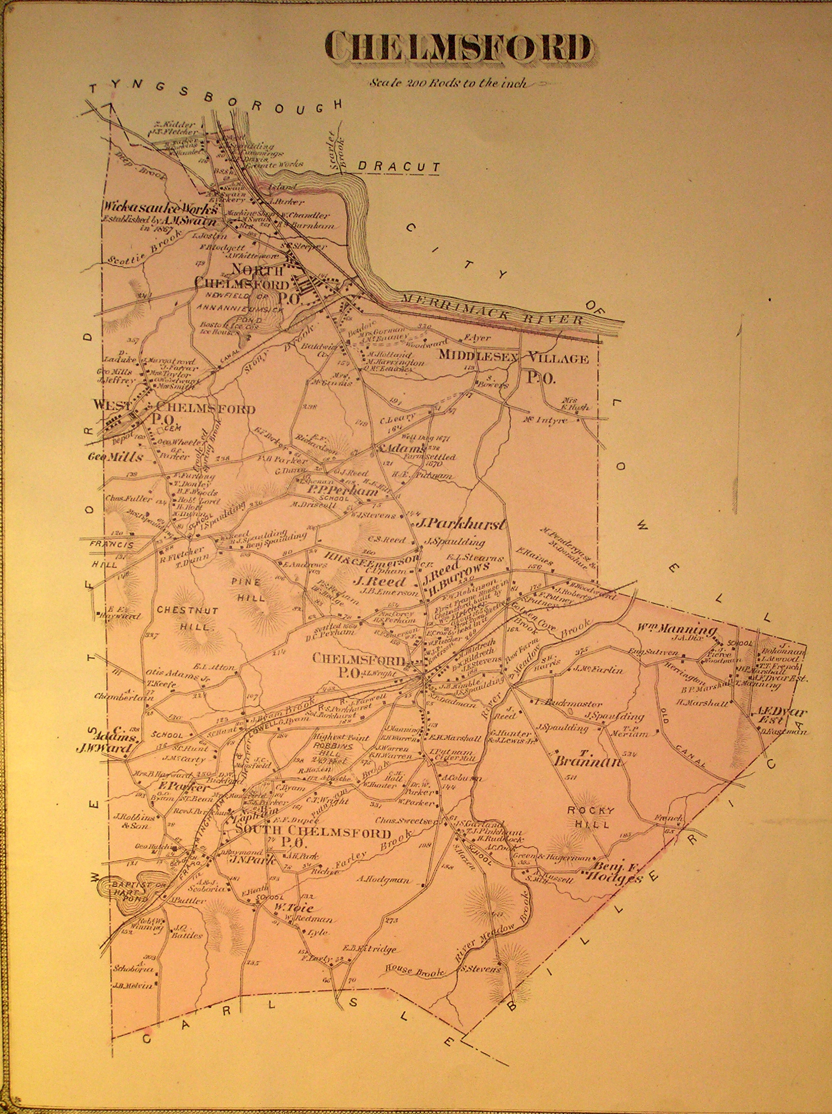
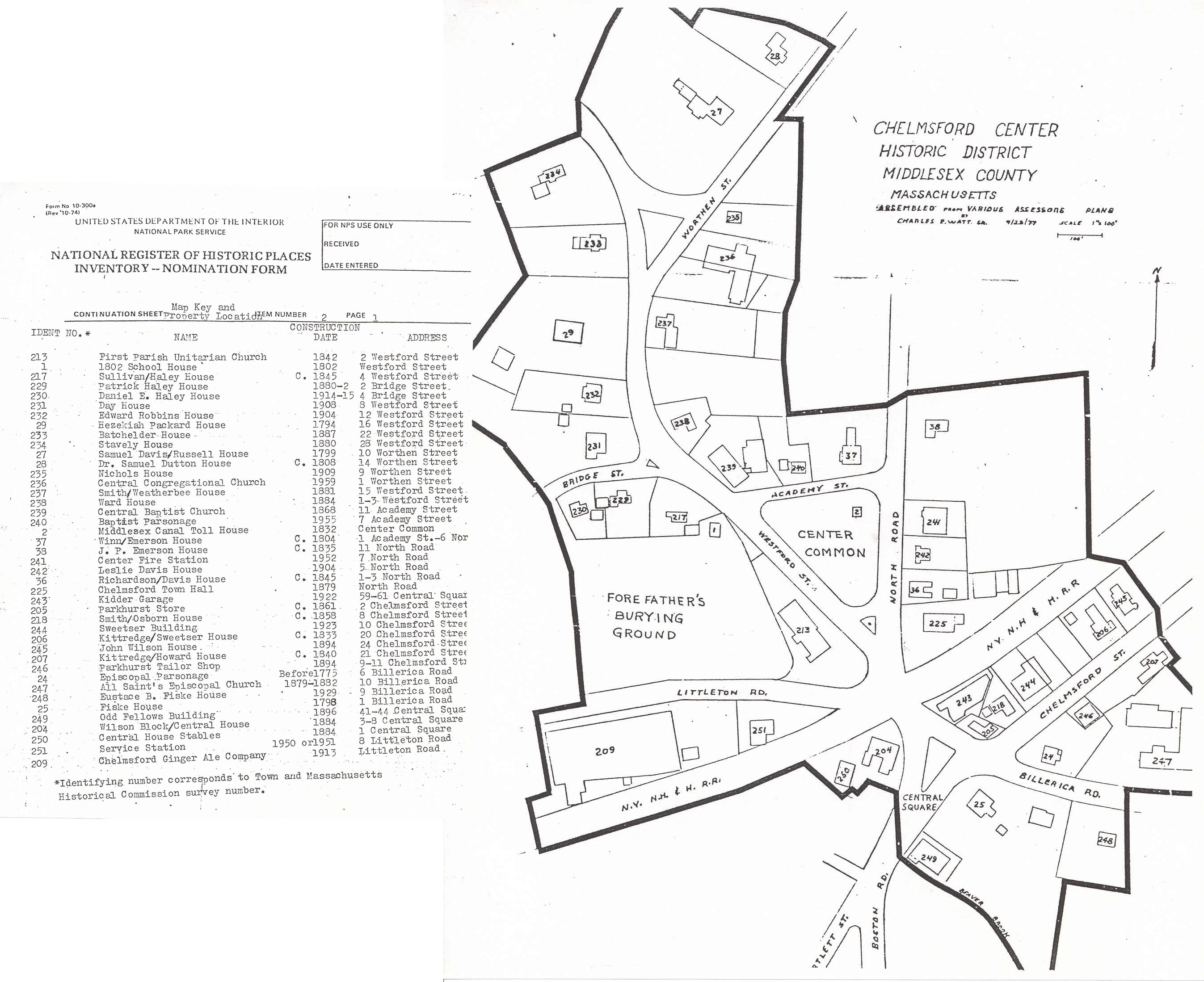
1656-1799
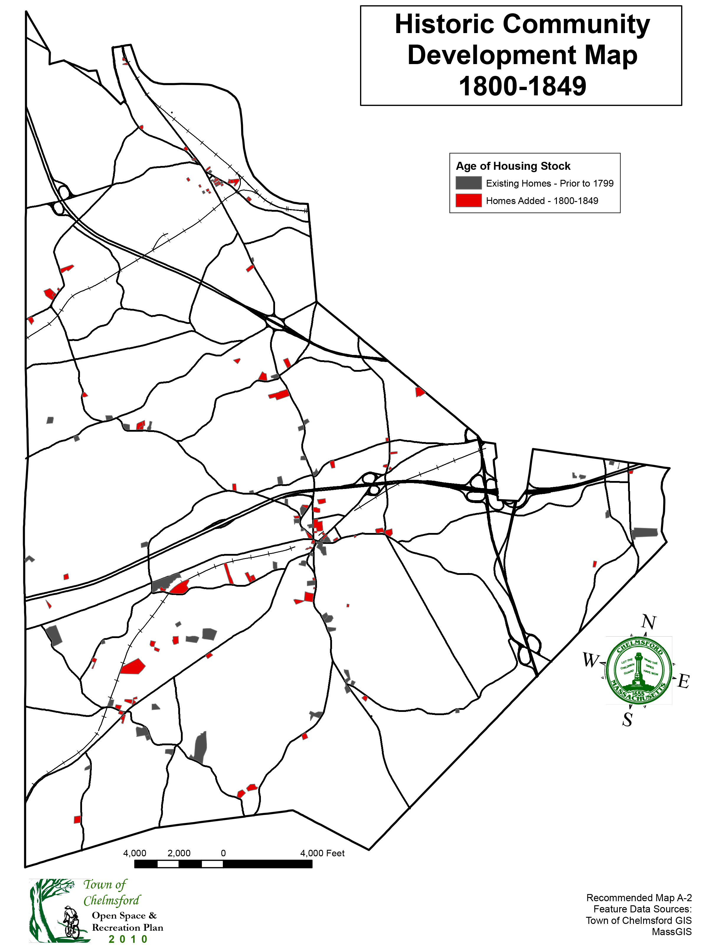
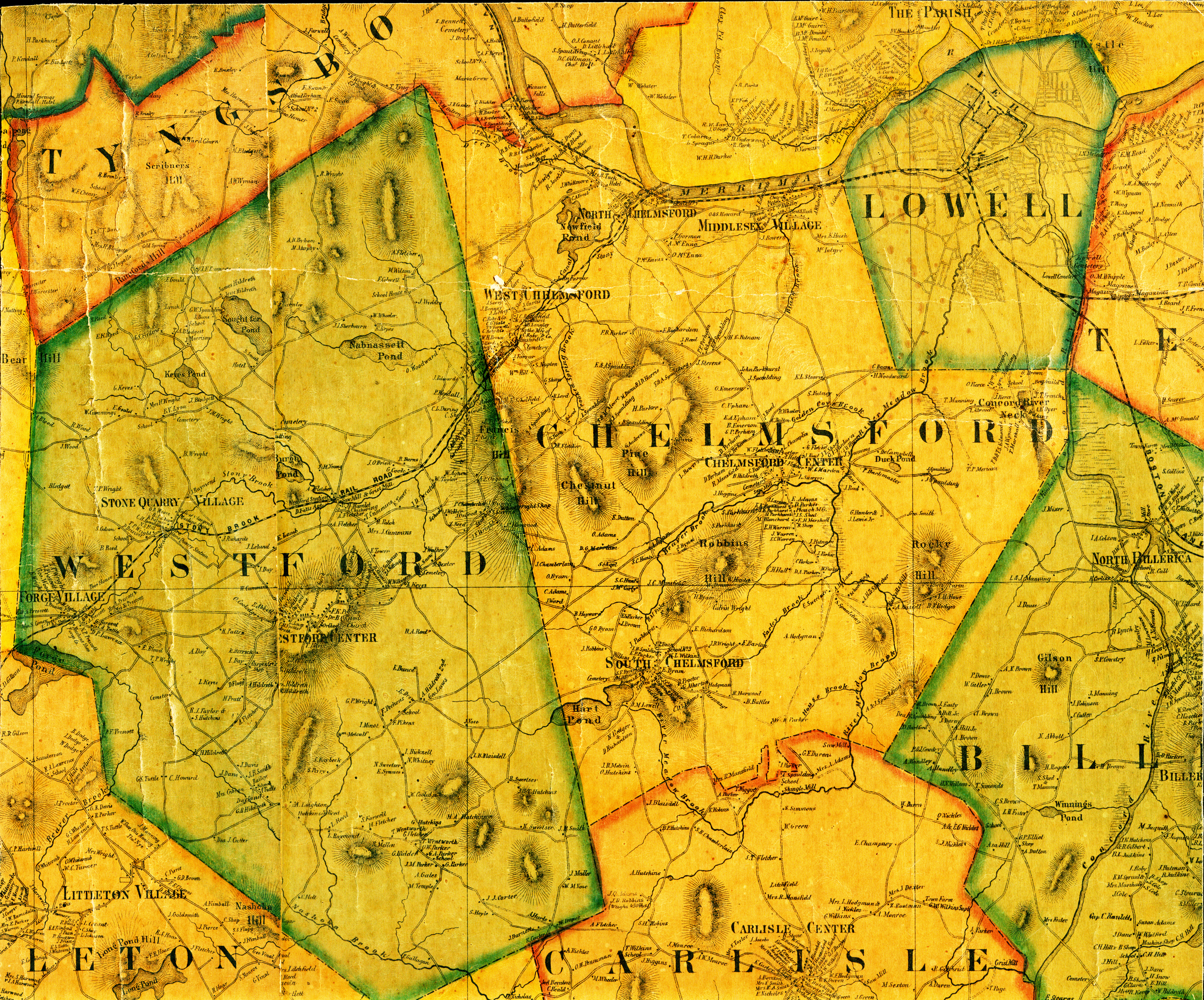
Community Development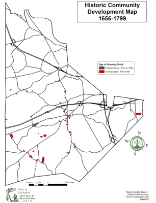 1800-1849
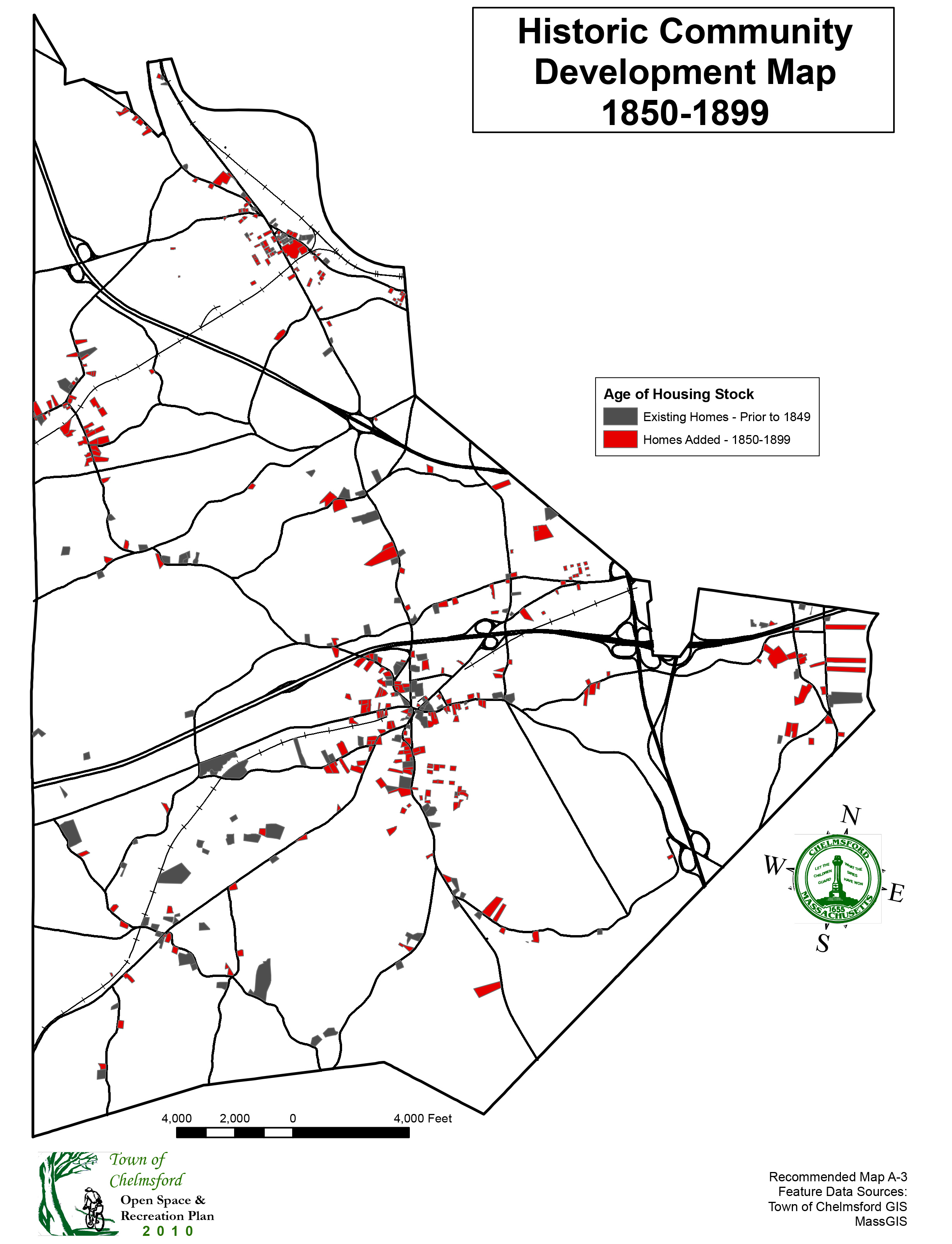
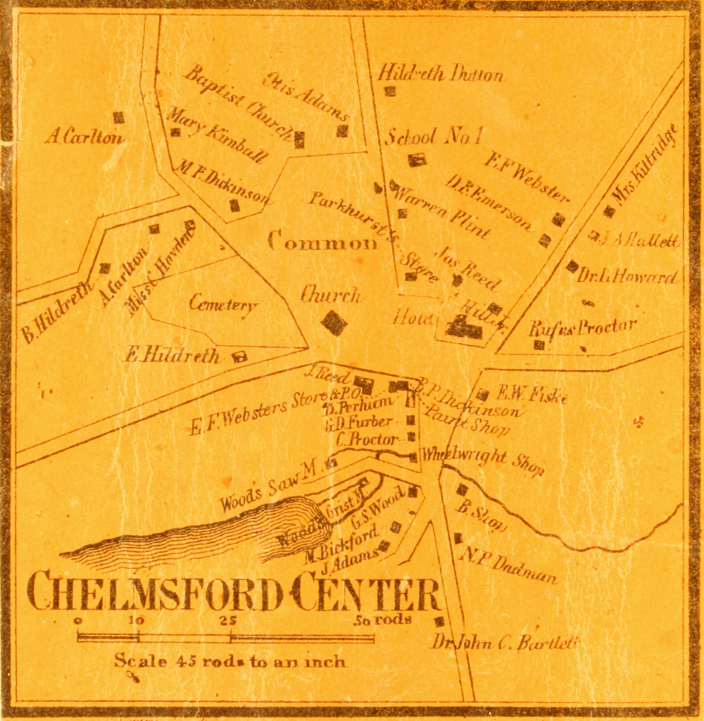
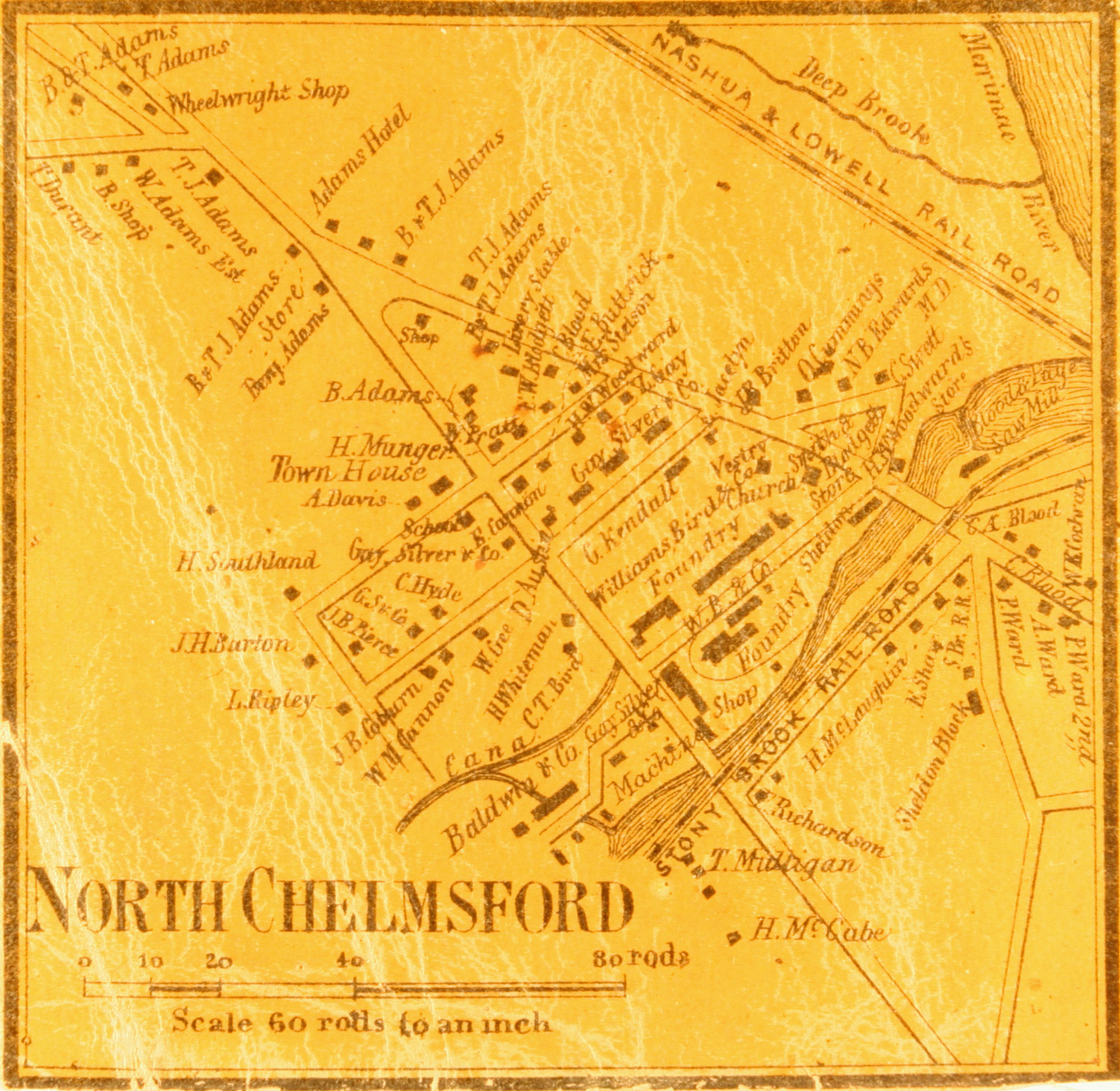
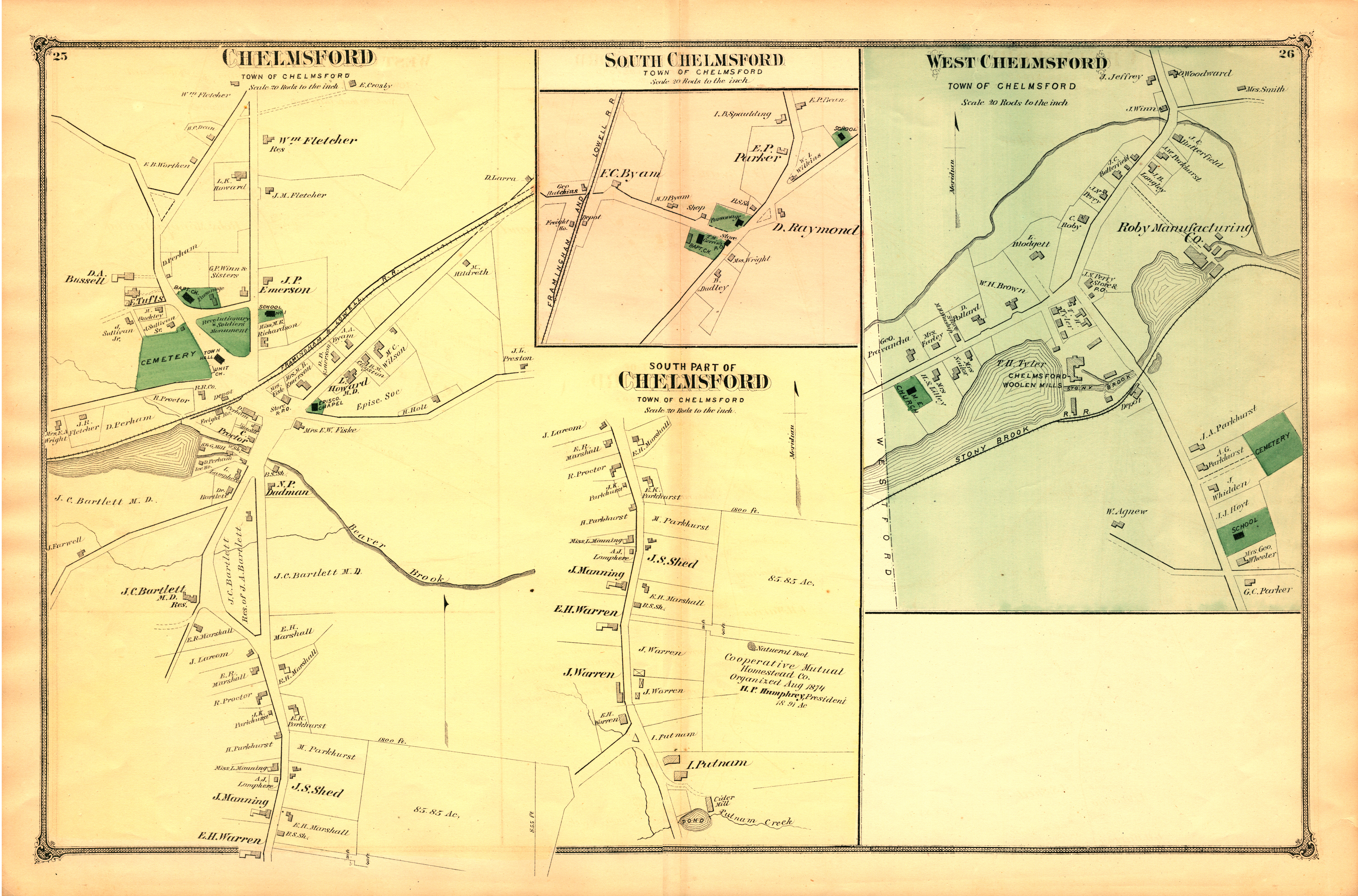
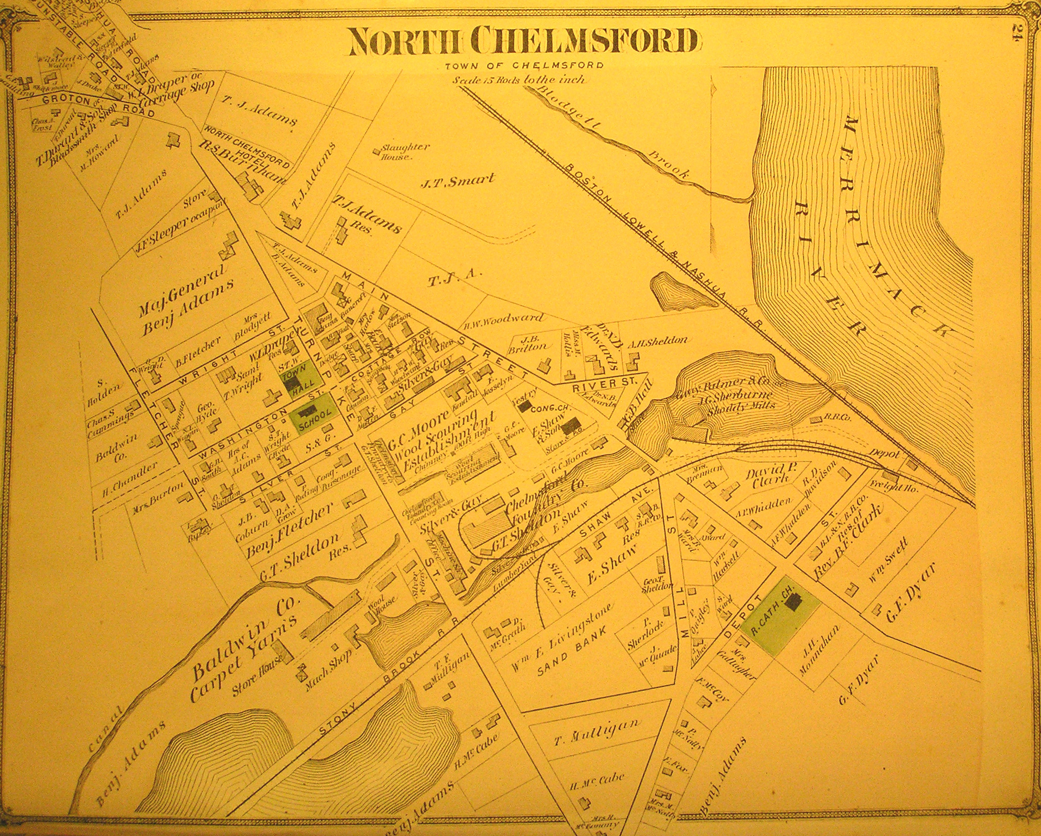
Community Development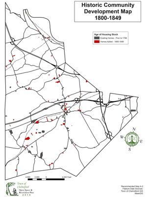 1850-1899
Community Development 1900-1929
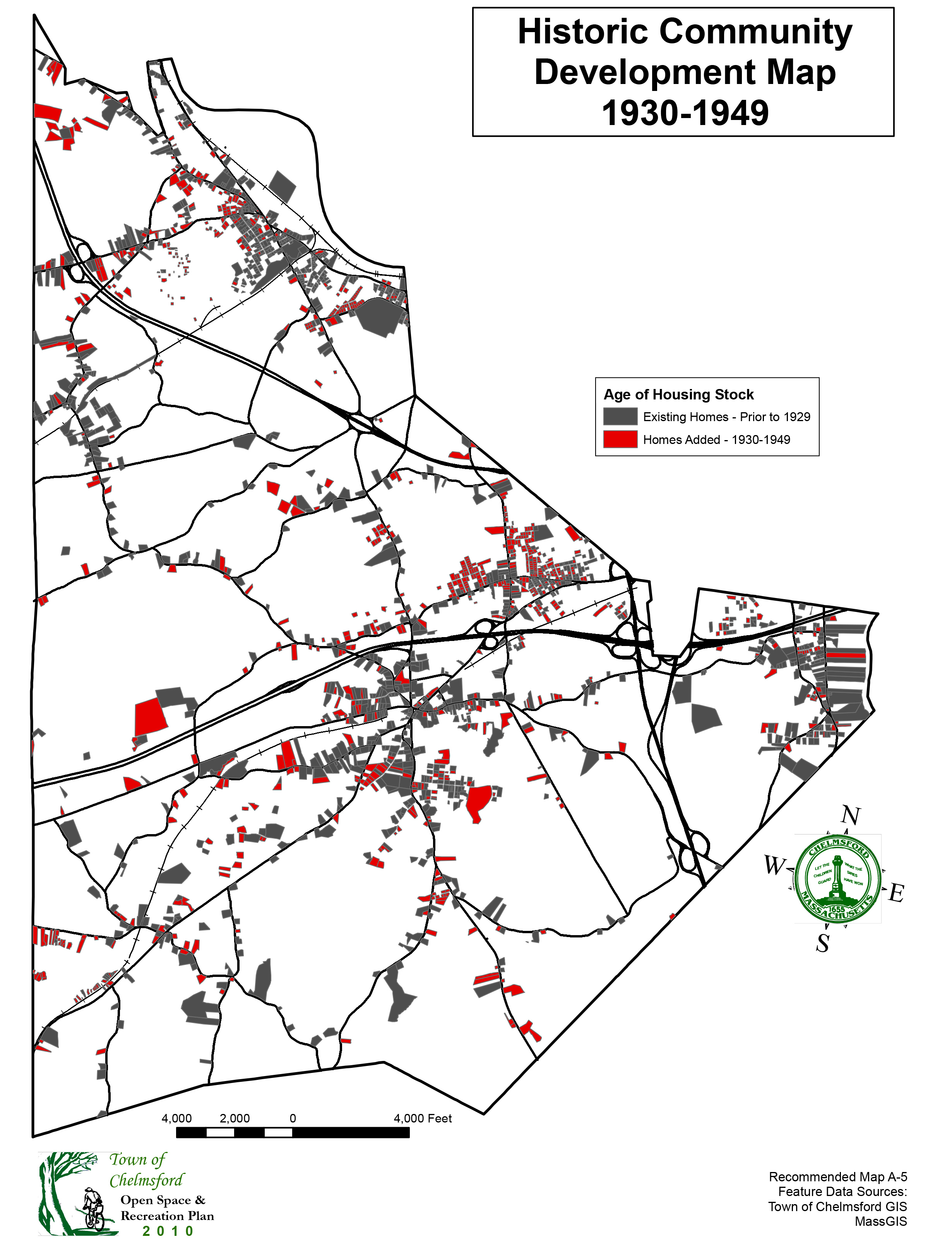
Community Development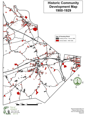 1930-1949
Community Development 1950-1959
Community Development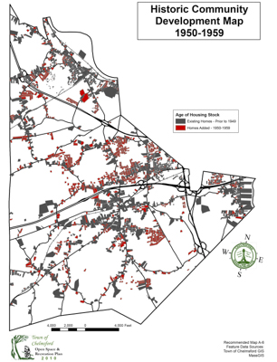 1960-1969
Community Development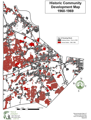 1970-1979
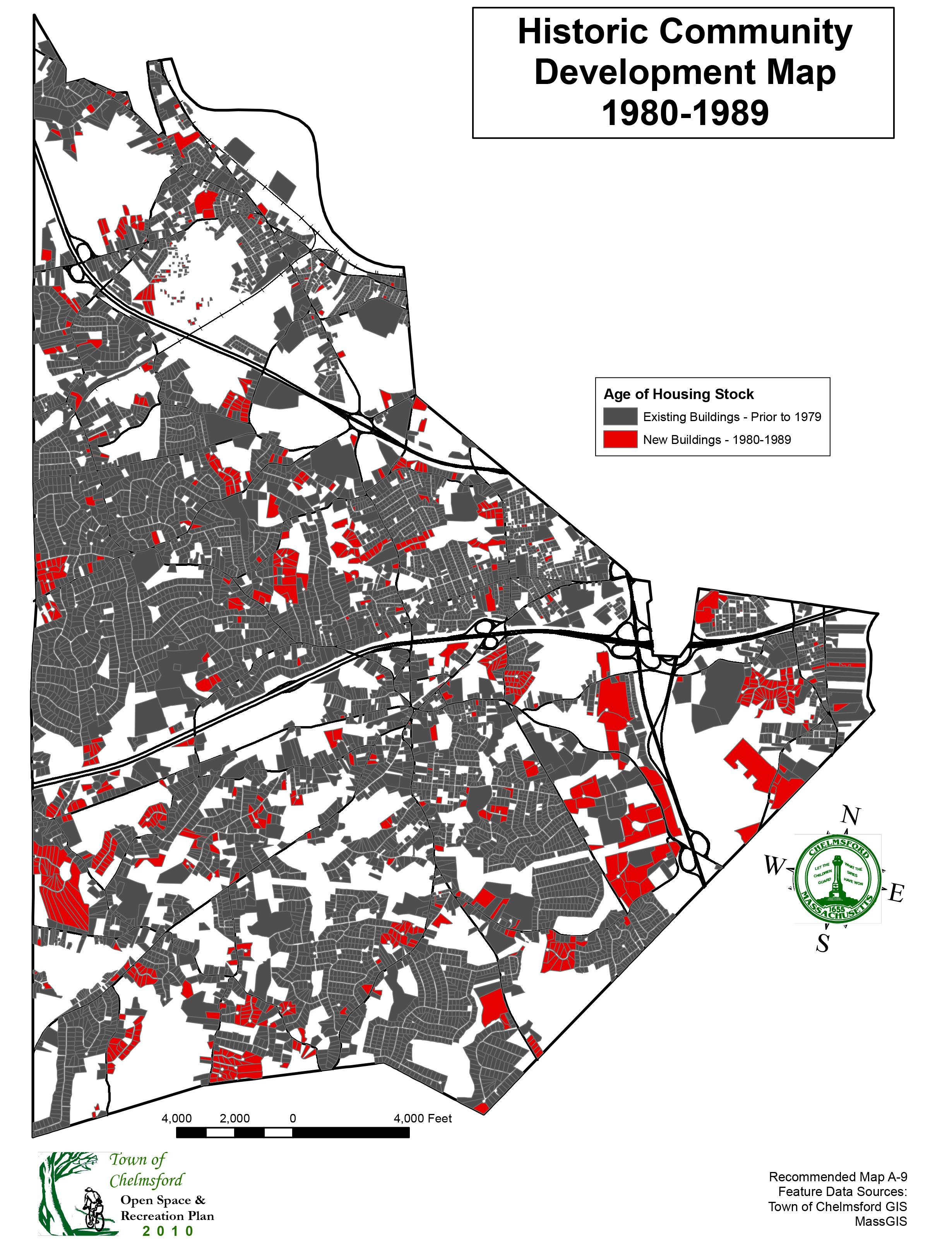
Community Development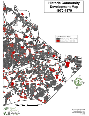 1980-1989
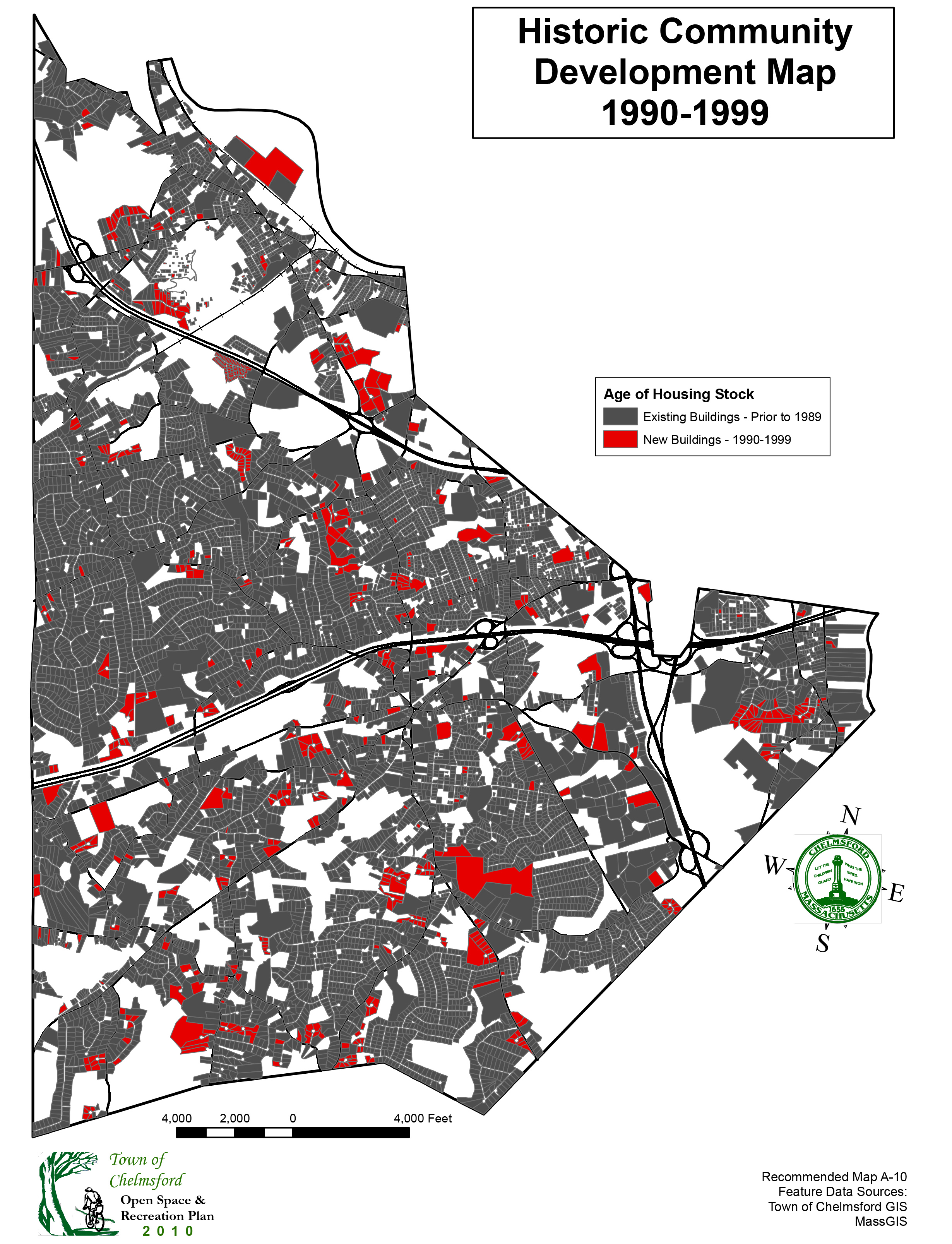
Community Development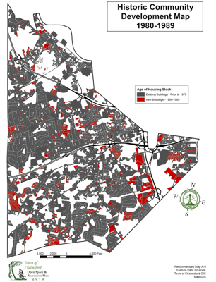 1990-1999
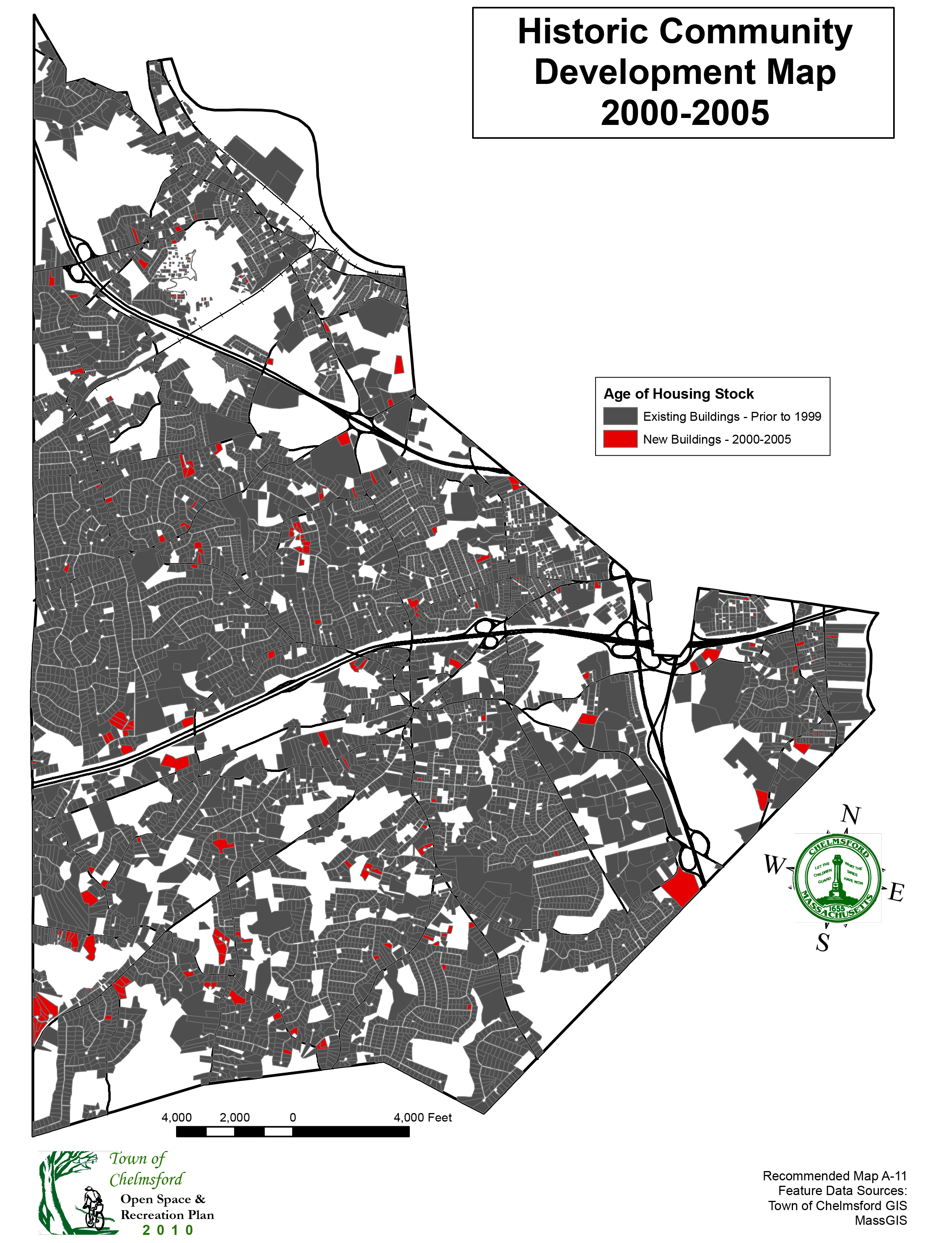
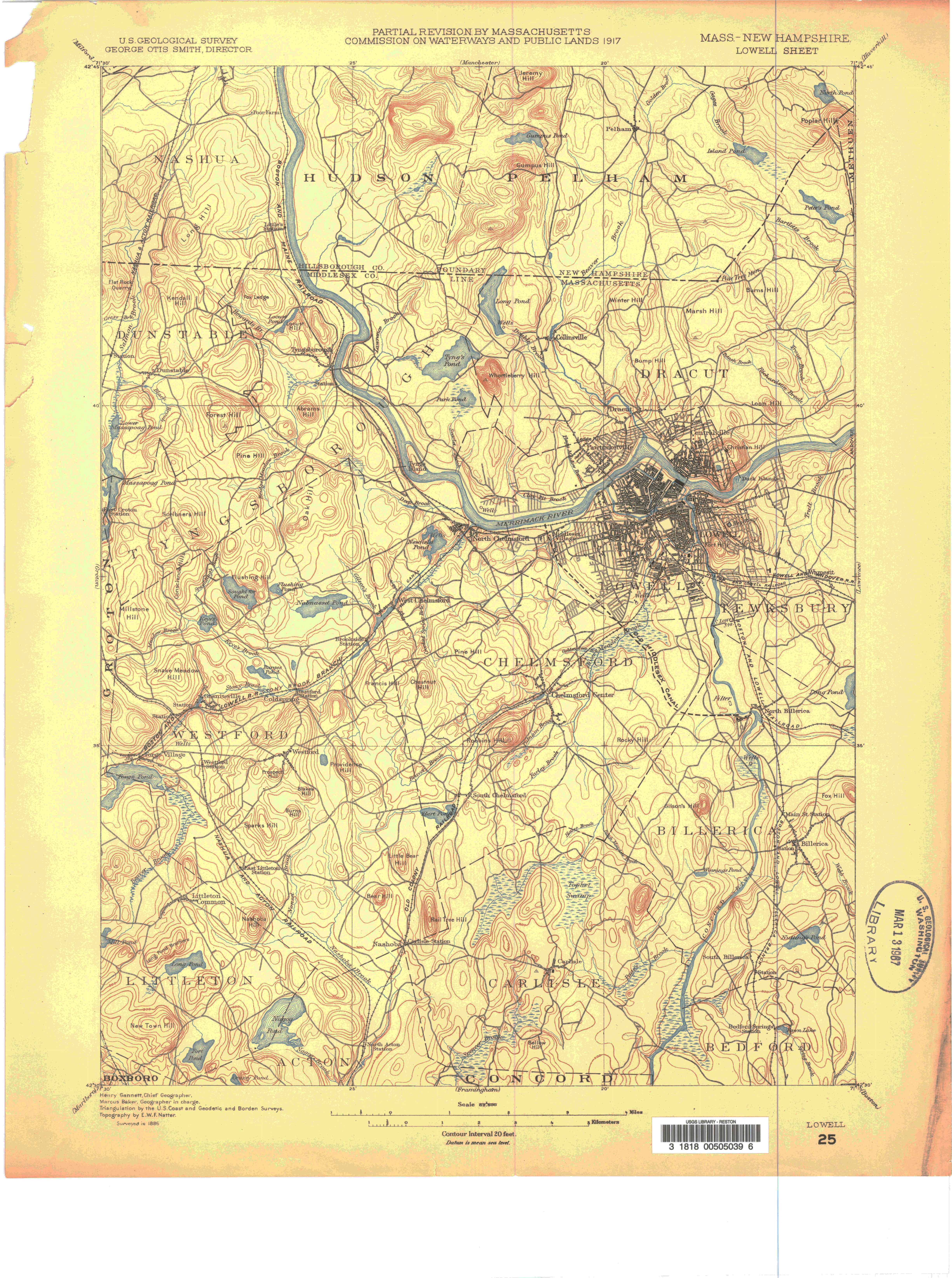
Community Development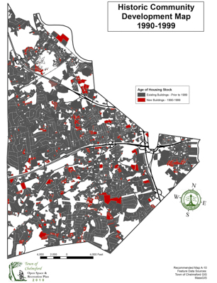 2000-2005
Community Development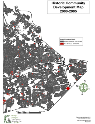
Community Development
 1800-1849
Community Development
 1850-1899
Community Development
 1900-1929
Community Development
 1930-1949
Community Development
 1950-1959
Community Development
 1960-1969
Community Development
 1970-1979
Community Development
 1980-1989
Community Development
 1990-1999
Community Development
 2000-2005
Community Development

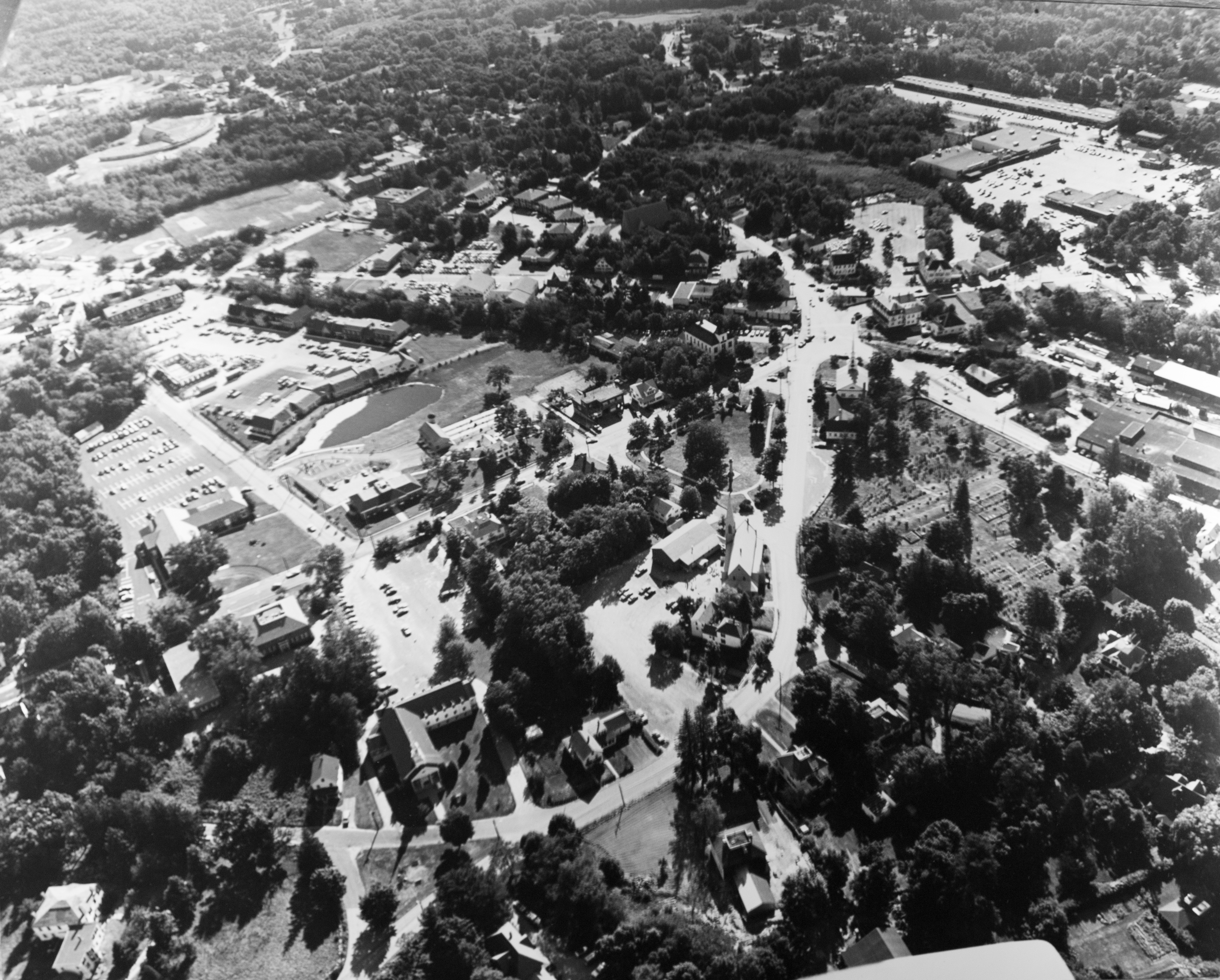
Center to
Route 495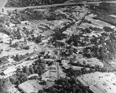 North
North
over the Center Northeast
over the Center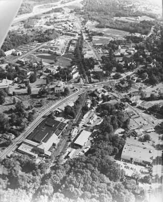 East
East
over the Center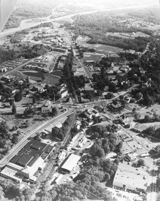 Southeast
over the Center West
West
over the Center Northwest
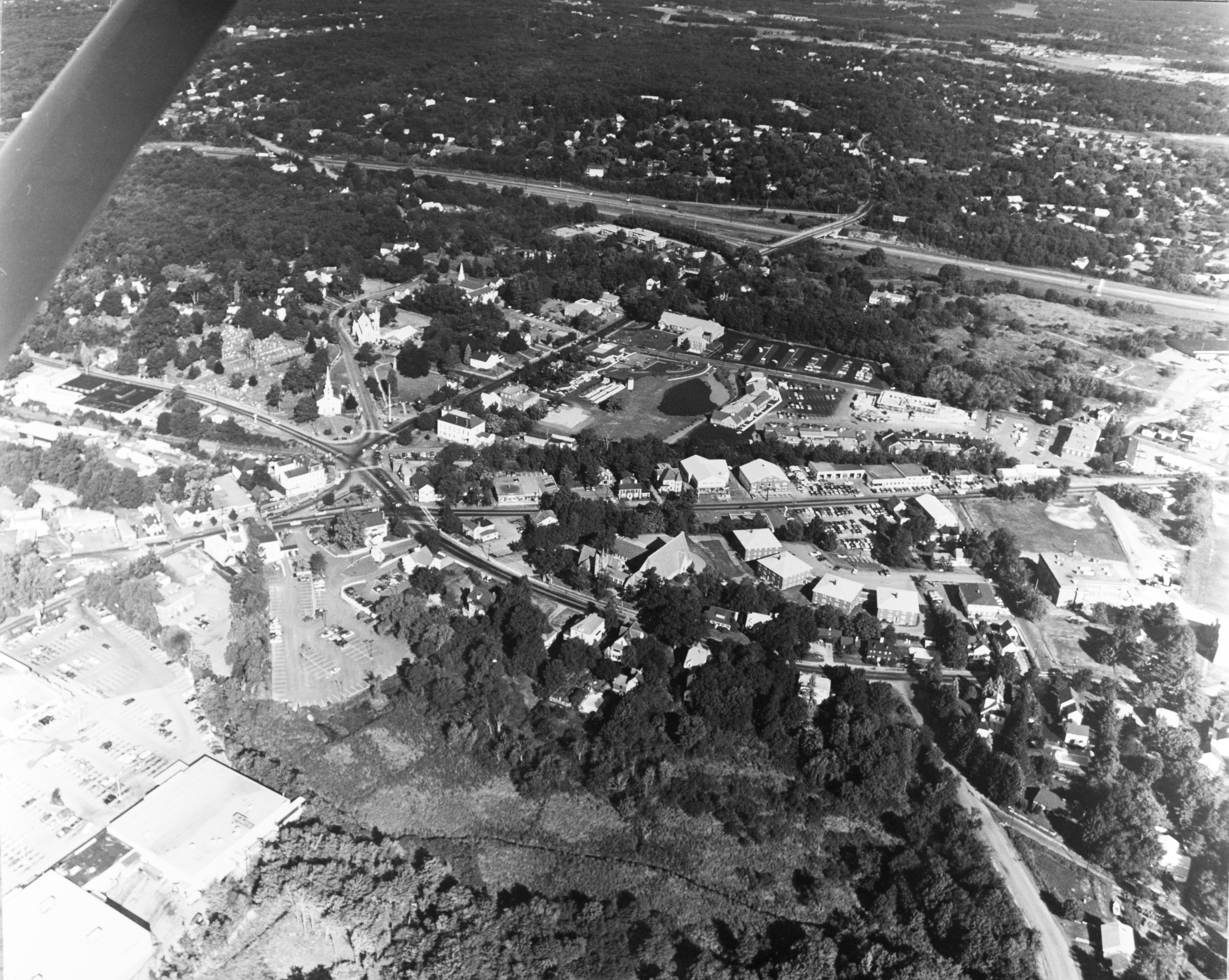
over the Center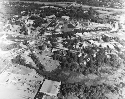 Over the North
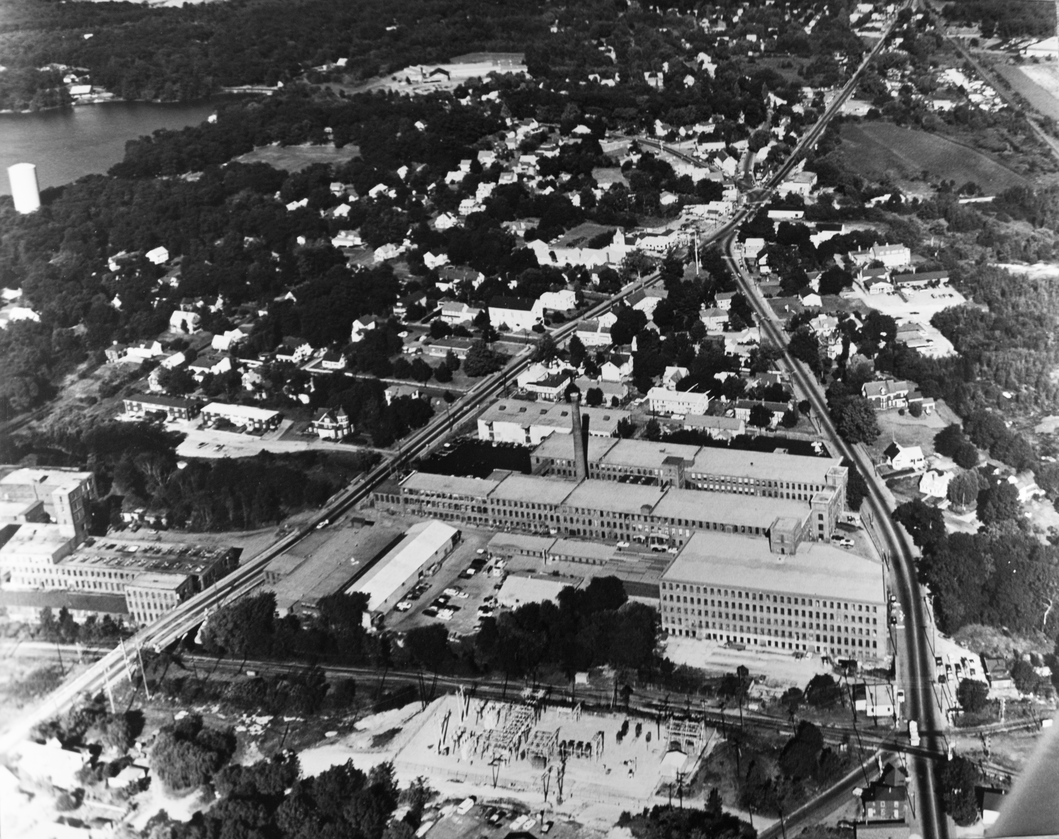
Chelmsford Mills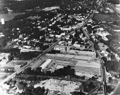 Northeast
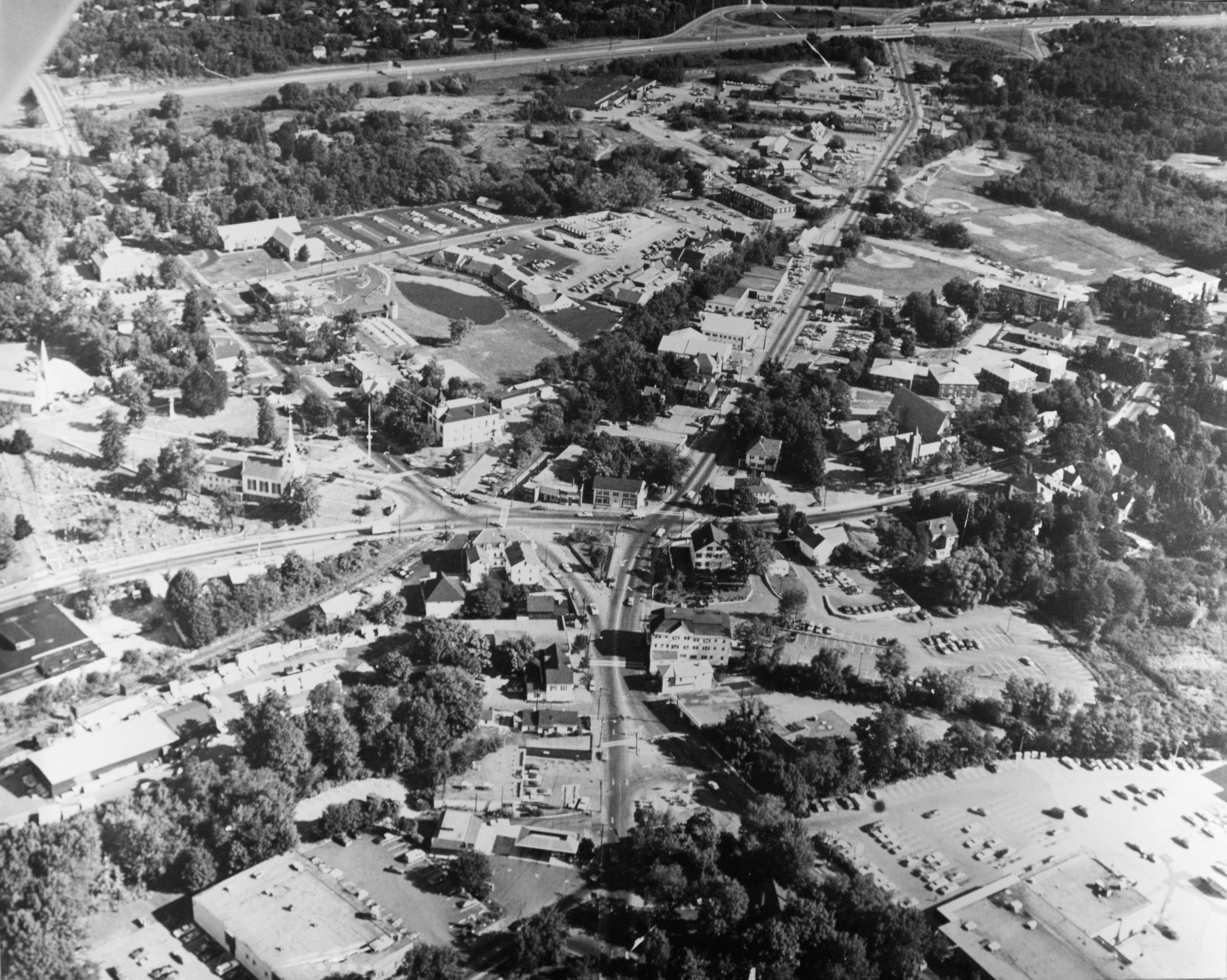
over Vinal Square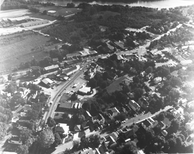 East
East
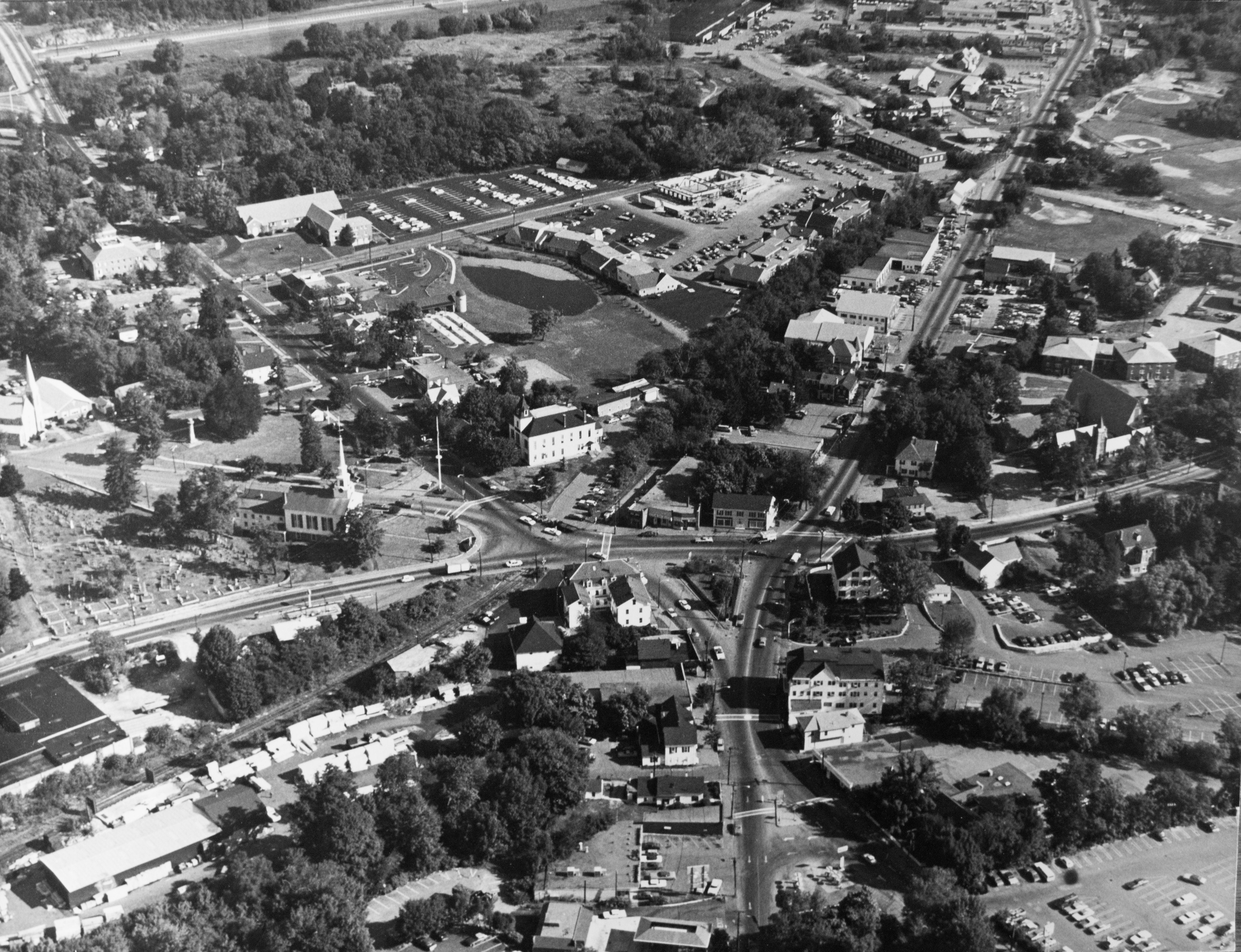
over Vinal Square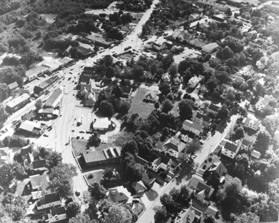 Southeast
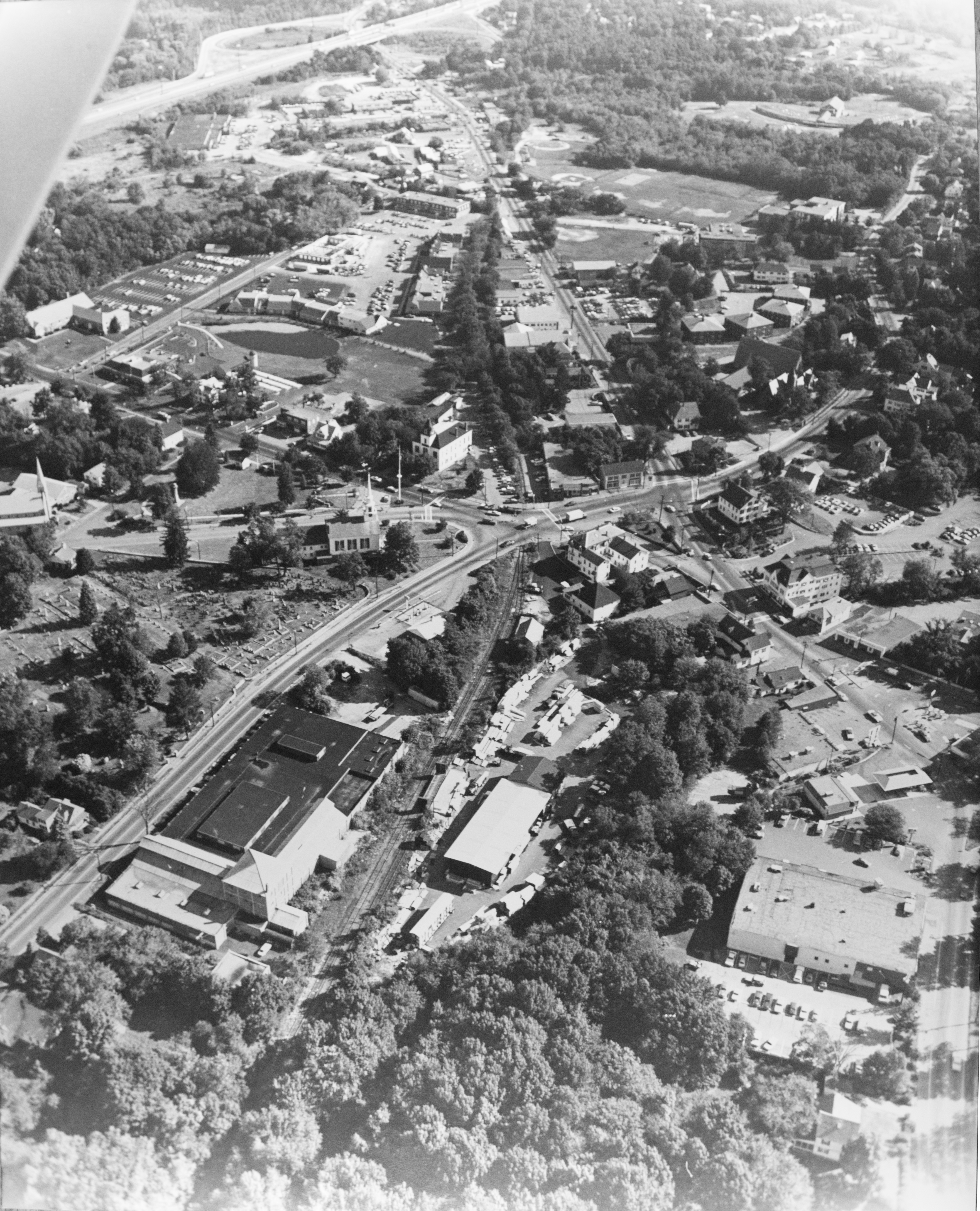
over Vinal Square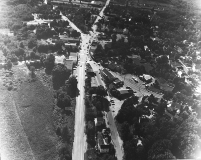 Parker School
to Drum Hill North over
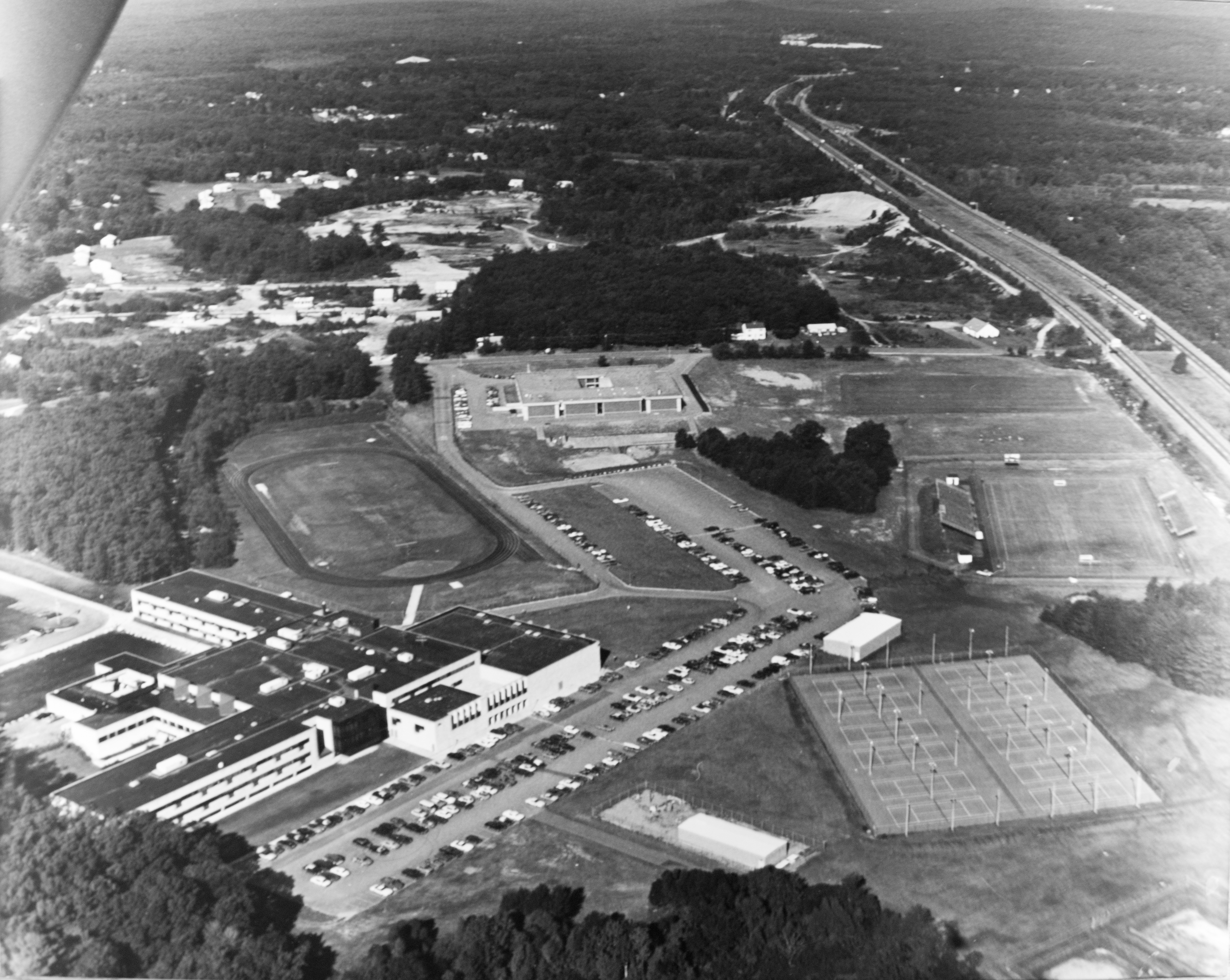
the High School
Route 495
 North
Northover the Center
 Northeast
over the Center
 East
Eastover the Center
 Southeast
over the Center
 West
Westover the Center
 Northwest
over the Center
 Over the North
Chelmsford Mills
 Northeast
over Vinal Square
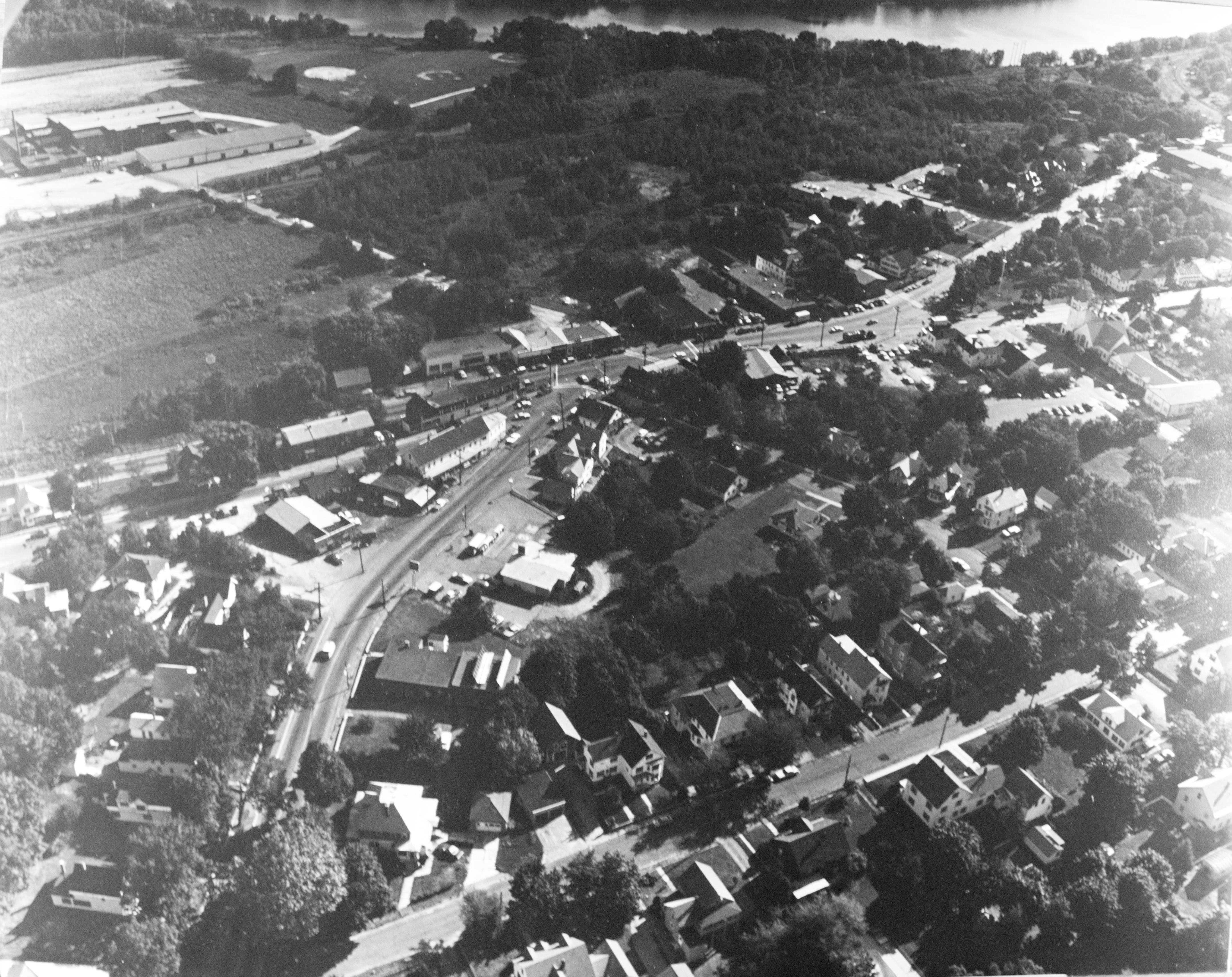 East
Eastover Vinal Square
 Southeast
over Vinal Square
 Parker School
to Drum Hill
 North over
the High School